
Geographic Information Systems (GIS)
Welcome to the City of Waltham's Geographic Information System (GIS) Web Portal. This web portal is designed to enable residents and City staff to view mapped information about the City, access web based interactive GIS data viewers, request maps and data, and download a selection of city maps.
What is GIS?
Geographic Information Systems (GIS) can be defined as a system comprised of computer hardware and software that enables users to create, display, edit, and analyze mapped data and information related to a point or location on the Earth's surface.
GIS in the City of Waltham.
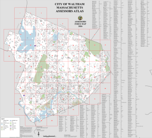
Waltham began its GIS program in 2004 and currently uses GIS to manage, update, and distribute its spatial or mapped data in support of both operational and analytical functions. The GIS is maintained by the City of Waltham GIS Department which updates and maintains the City's enterprise-wide GIS database and disseminates mapped data through web based interactive mapping applications and downloadable maps.
Maps Online - MapGeo Update!
We have recently updated our GIS web mapping platform to a new application called MapGeo! MapGeo provides access to the City’s GIS data and property Information 24 hours a day seven days a week. Through MapGeo you will be able to view selected property records, utility information, make your own maps, create abutter lists and maps, and view selected scanned data. You can search for a property by entering a street, address, Parcel ID, or owner name into the Search box. Open and begin using MapGeo.
Staff Contacts
| Name | Title | Phone |
|---|---|---|
| Eric Rizzo | GIS Administrator | (781)314-3014 |